This is my first bushtrip for MSFS. I hope you enjoy the flight and that there aren't too many "bugs".
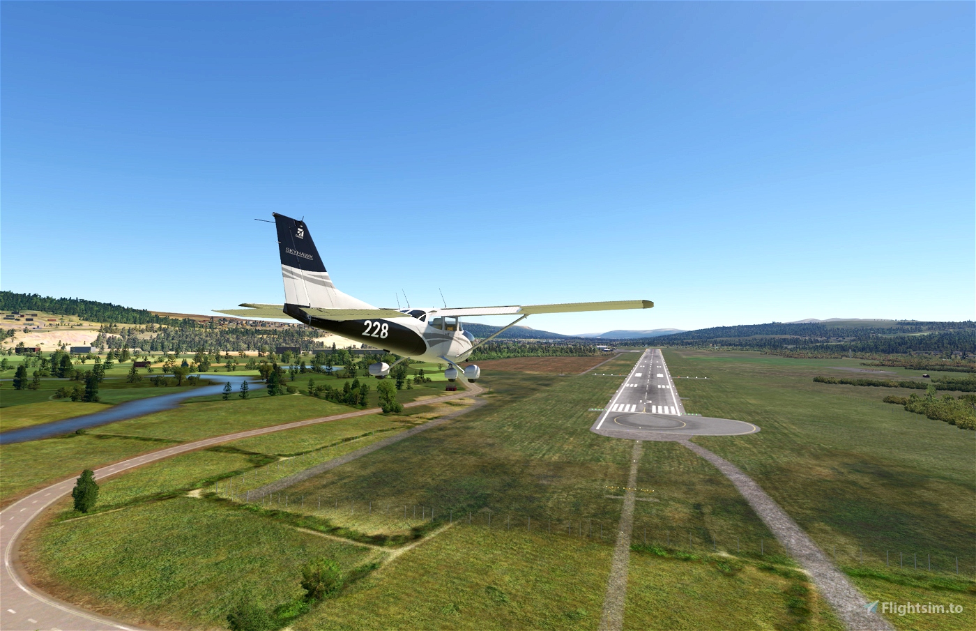
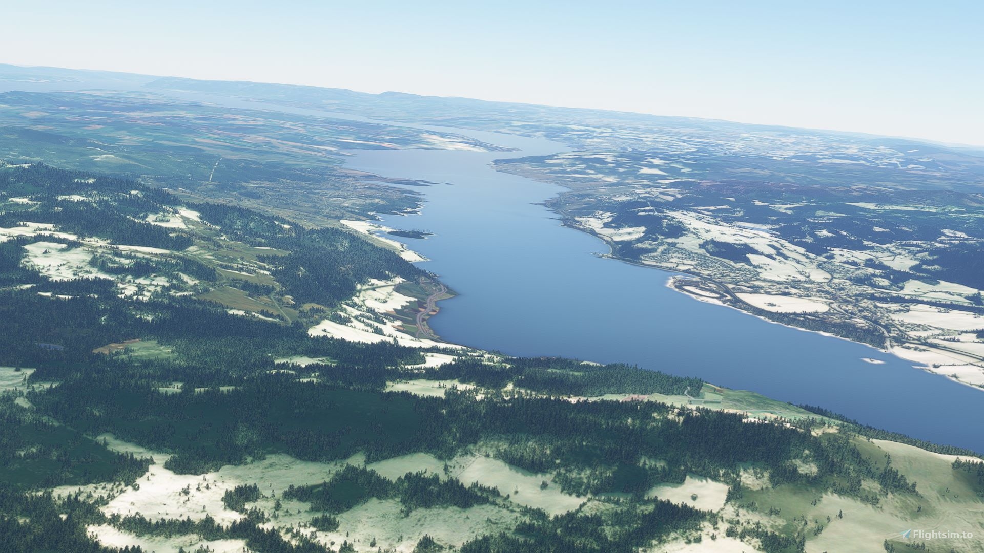
The trip takes you from Trondheim airport Værnes (ENVA) to Oslo airport Gardermoen (ENGM) via Røros, Tynset and Ringebu.
There is a voice guide, including a simulated ATC communication at your starting location (probably mistakes here as I am no pilot).
I did add some POI markers which appear during the trip to point out some places. As an example. Flying over a lake named for a town you might want to know where that town is...
Left the weather menu item activated so you can try it in different weather. Makes flying it more than once more fun.
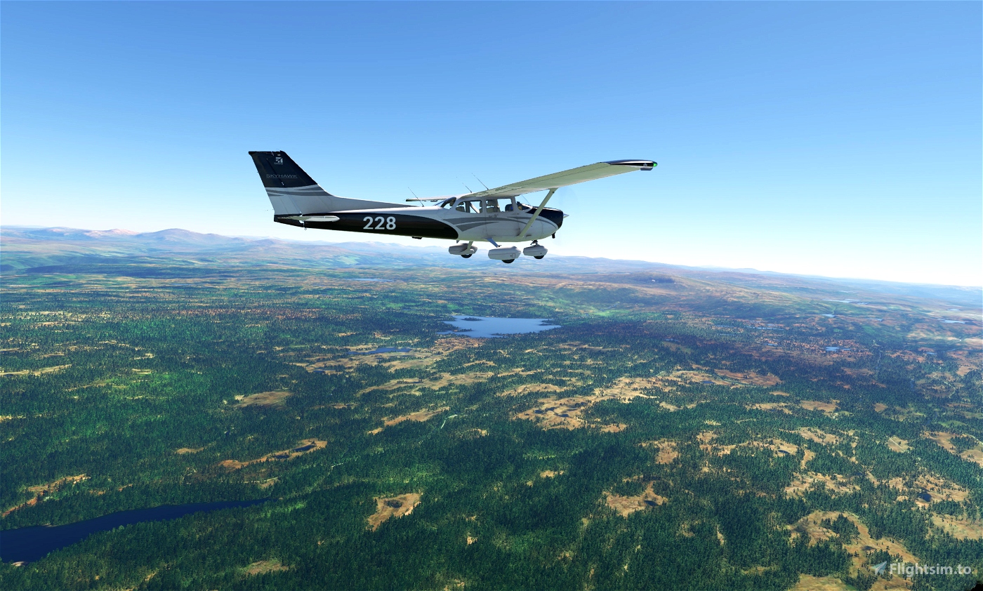
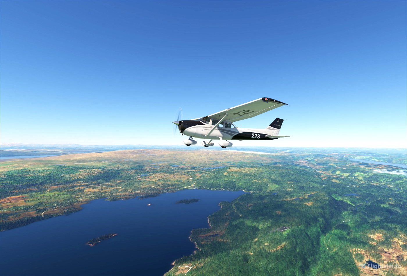
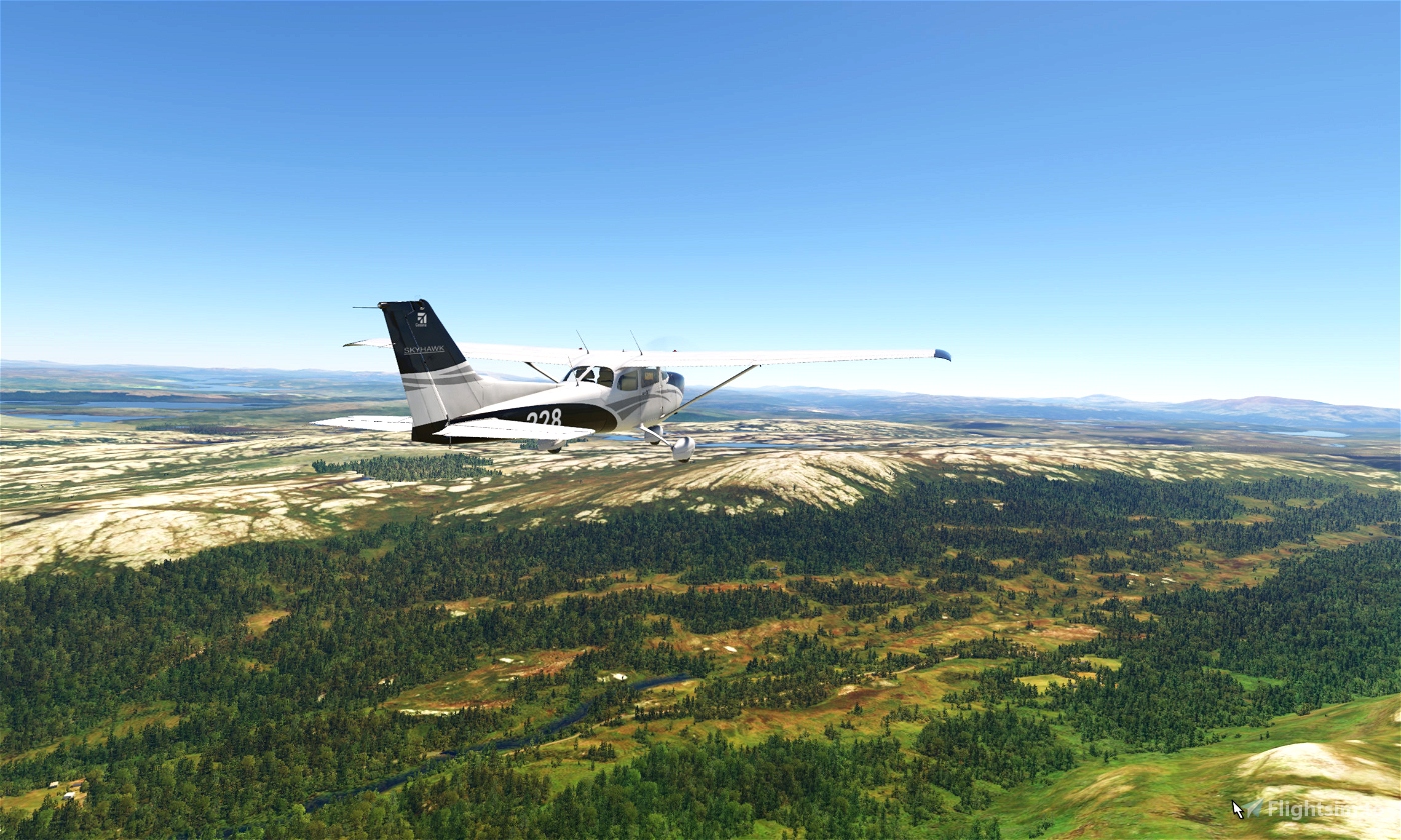
My choice of plane was a Cessna 172 Skyhawk G1000, but I am sure there are other views out there and if you wish you can change this you can download MissionChanger.
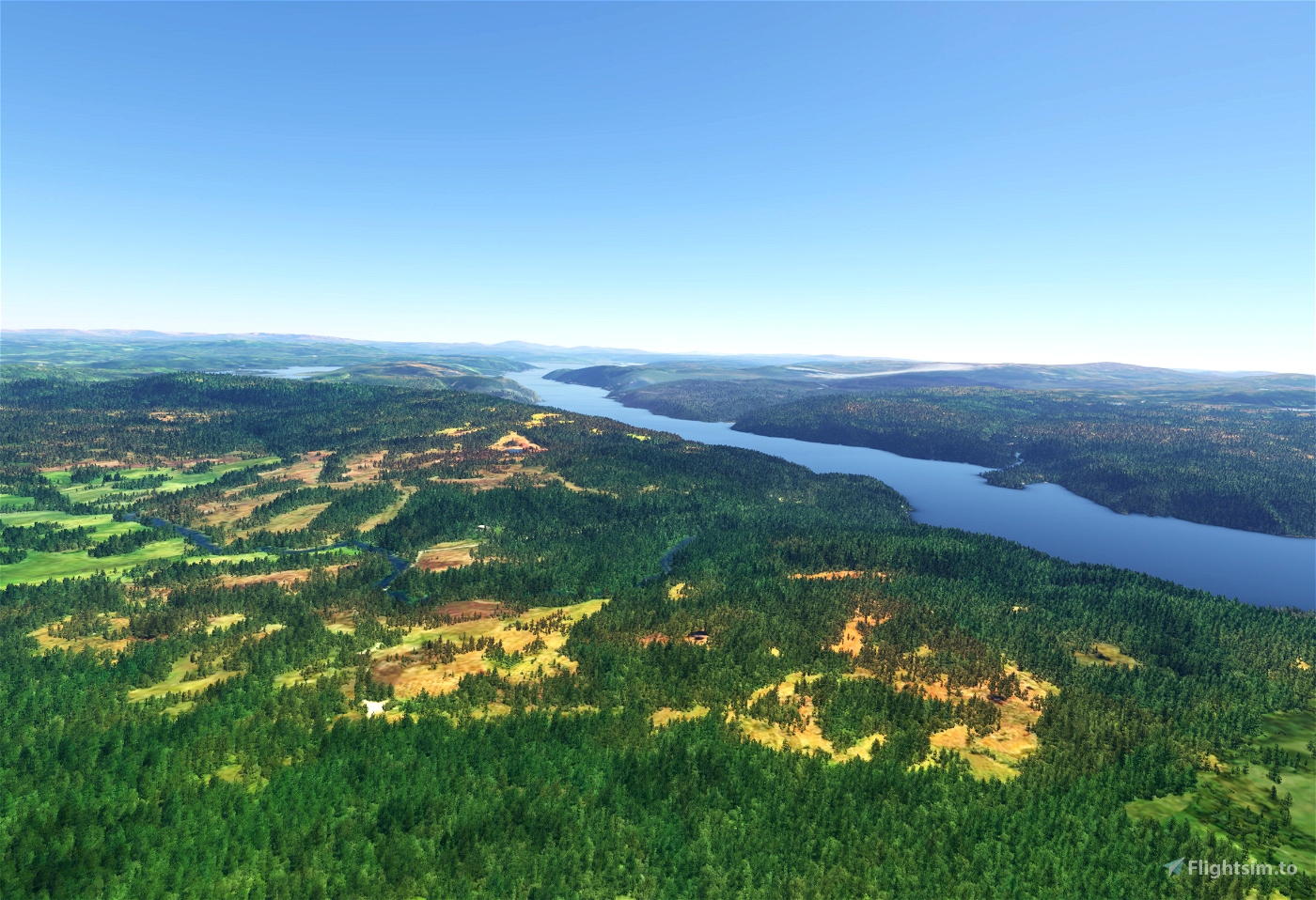
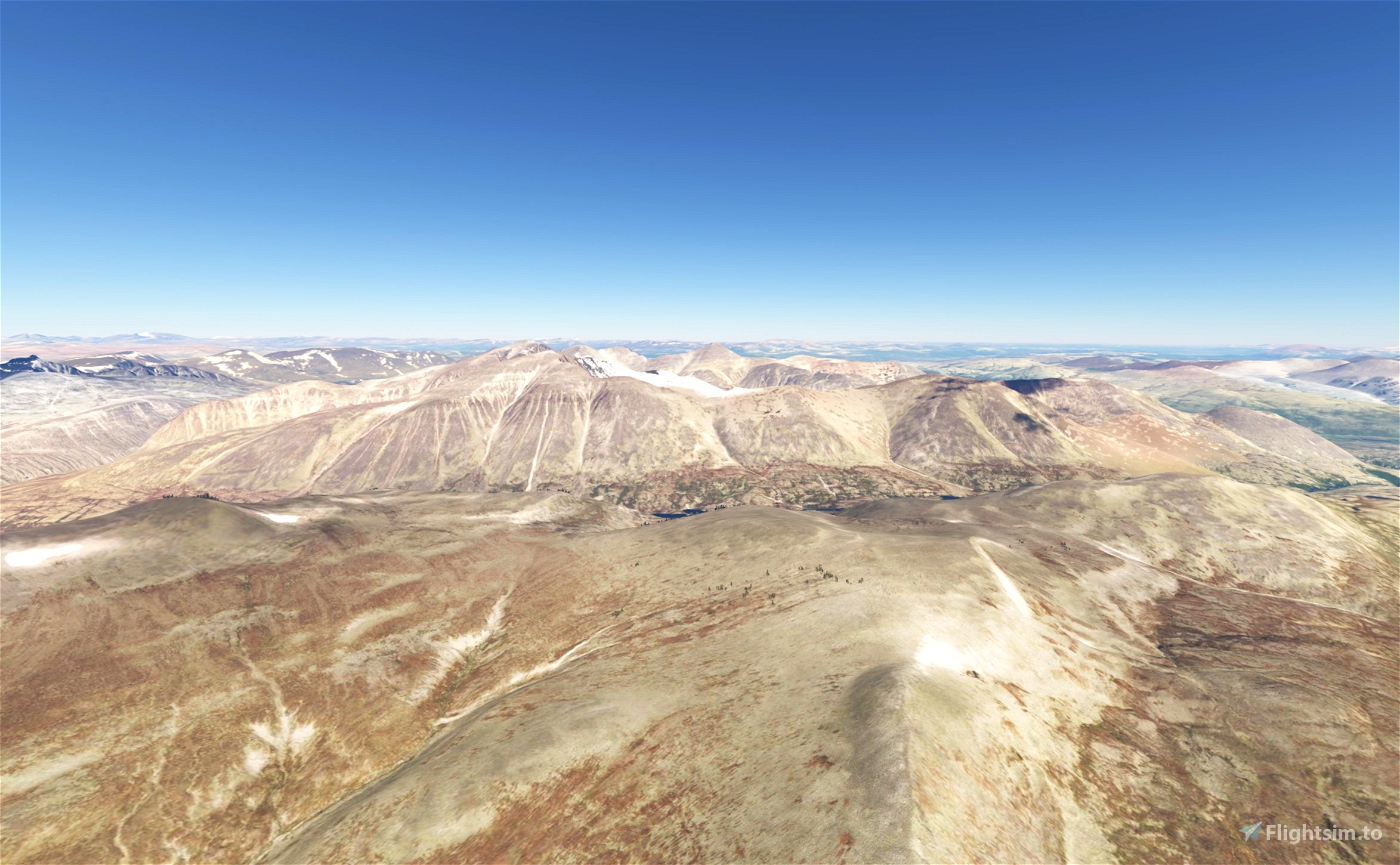
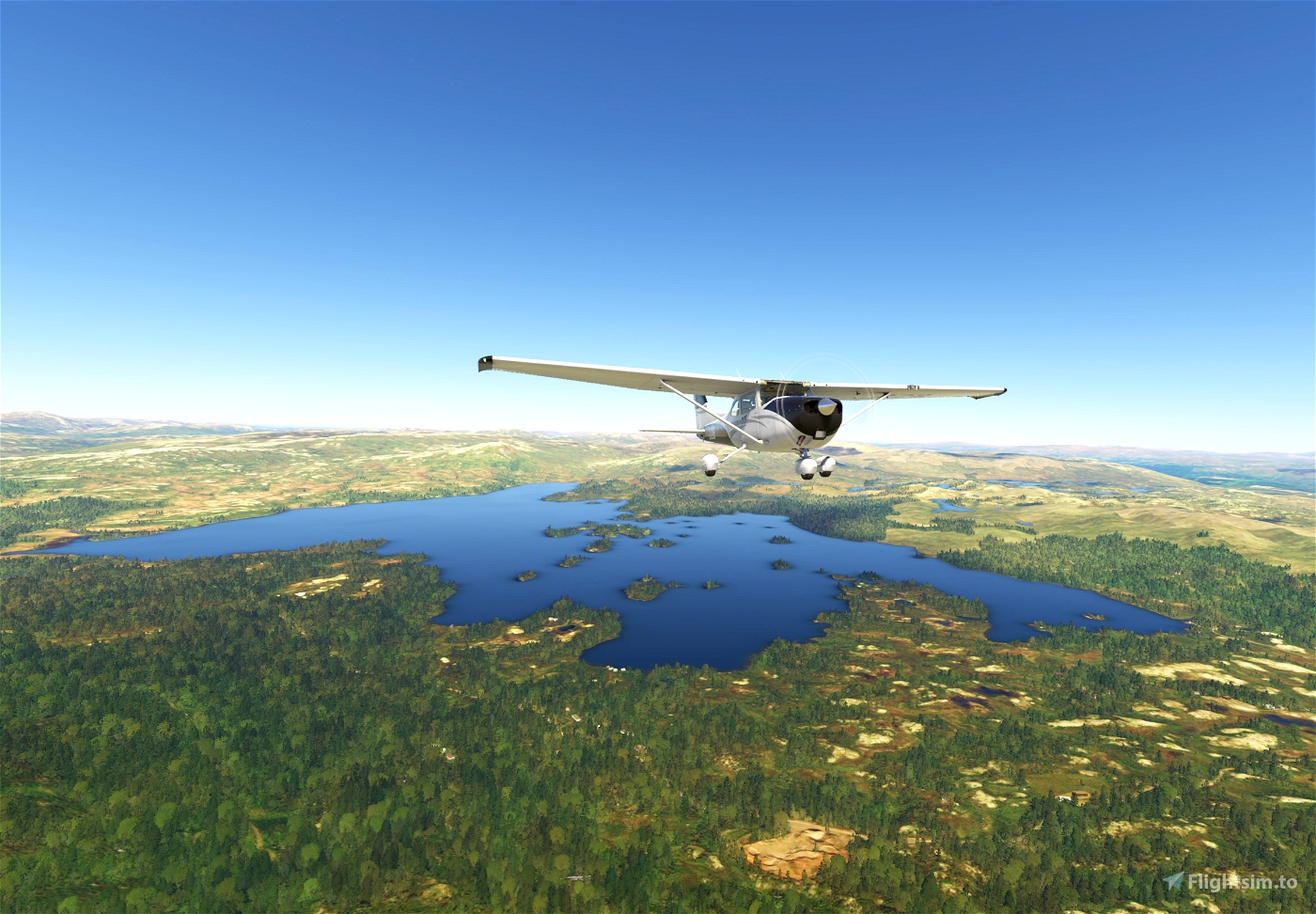
With World Update: Nordics & Greenland the scenery is up to date, and you will have some wonderful views of the central Norwegian mountain regions.
Flight Length: 501 km
Number of legs: 4
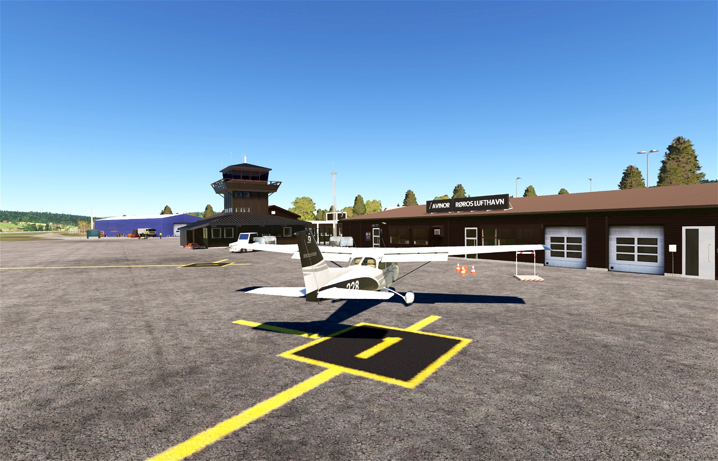
Because of a missing airport in MSFS the following scenery addon is required:
- Røros Airport by artogsta: https://flightsim.to/file/34969/rros-lufthavn
MSFS has placed a building at the end of the runway at Ringebu airport so the following addon that removes it so it is recommended:
- ENRI - Ringebu Airfield Frya by PixelOfLife: https://flightsim.to/file/61931/enri-ringebu-airfield-frya
The following scenery addons might improve your experience, but are not required:
- Tynset Airfield ENTY by radioglyserin: https://flightsim.to/file/30921/enty-tynset-airfield
- Oslo Gardermoen Airport ENGM by hergi1234: https://flightsim.to/file/25434/oslo-gardermoen-airport-engm
- ENVA - Trondheim Airport, Værnes by Dudlileif: https://flightsim.to/file/872/enva-trondheim-airport-vaernes
- Trondheim - High detail by DemoKen: https://flightsim.to/file/50218/trondheim-high-1-2
- Hamar City Google-Maps Photo Scenery by Steffiskruff: https://flightsim.to/file/9756/hamar-city-google-maps-photo-scenery
OR
- Hamar Photogrammetry Scenery by chjohans: https://flightsim.to/file/6065/hamar-photogrammetry-scenery
INSTALLATION: Just download the .zip file, unzip it and drag and drop it into your MSFS community folder. You will find the Bush Trip in the Activities -> Custom Content menu. Everything works just like the default bush trips.
And if you can, I would very much appreciate a coffee: https://www.buymeacoffee.com/geirrosset
Have fun, enjoy!
Created with BushTripInjector by BuffyGC.
Suggestions for improvement to this bush trip are welcome.


You have created a very neat trip. Nice flying and enough the see. However, the way you handle the waypoint information is confusing. Turning to the degrees as they are spoken gives me a strange feeling as the direction does not follow the navlog. I guess I have to get used to it.
Other remark in the second leg after OS you advice to decend to 2000 ft. Shortly after that you get with an altitude of 2700 ft a 500 ft warning. Before ENTY is a mountain of almost 2600 ft. Flying 2000ft needs a diversion to the river valley.
I like the way you integrated the sound.
In the first three legs there where no IGM , in the last legs I have seen them. I don't know if this was intentional.
Still a nice trip, I enjoyed flying. See the screen shots i n the user gallery.
Frontech
4 months ago
4 months ago
geirrosset
Frontech
One thing tho. Not sure why but there didn't seem to be a flight plan or something for leg 2 . Was not able to use the FLT plan/AP/ GPS/ Nav thing to fly the route.
No problem tho . I just used the AP/ HDG method .
4 months ago
4 months ago
geirrosset
sparky147
At PO14 Over The City . you say fly 138 degrees towards eastern end of Selbu Lake . Is that not the western end of the lake?
At PO16 you say "fly 172 degrees towards town of ROSOS . but there are still 2 heading changes before getting to ROSOS.
Not really a big deal and Likely it's just me not understanding it . Just Wondering.
4 months ago
4 months ago
geirrosset
sparky147