
HI29 Upper Paauau, Pahala, Hawaii
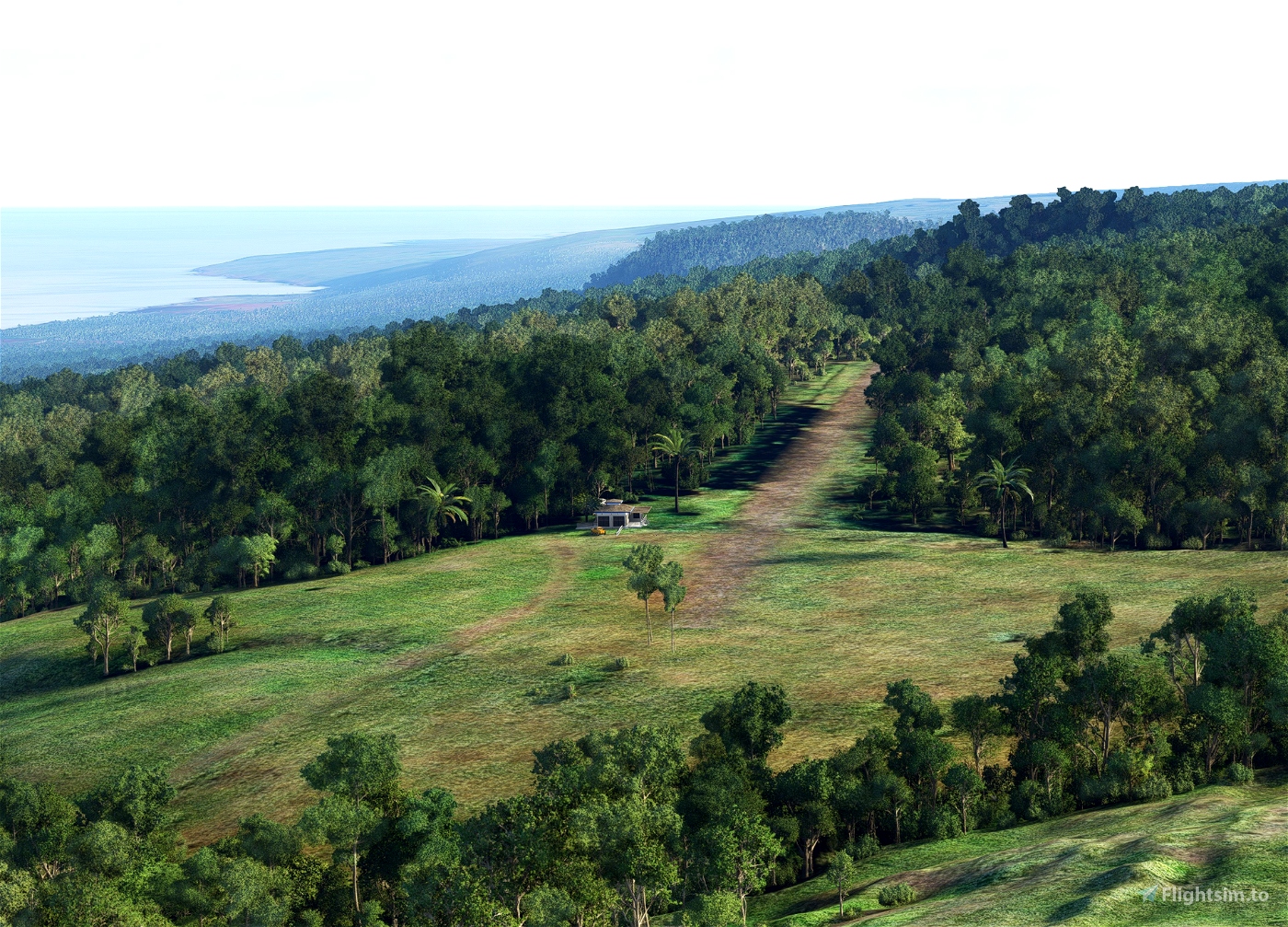
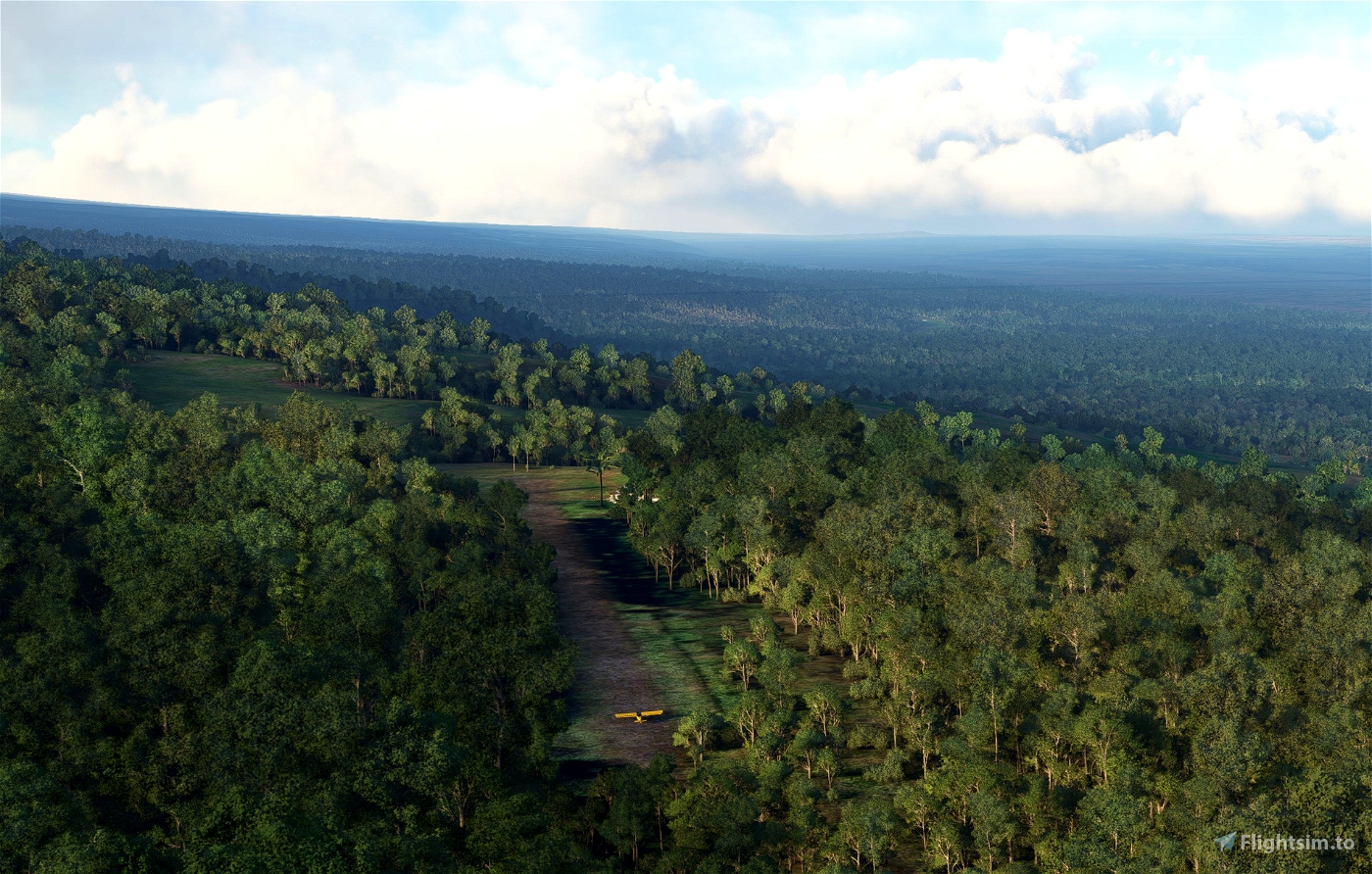
So I was flying a mission in FSEconomy and it gave me a destination of HI29. Upon arrival, I discovered there were tall trees surrounding all four corners of the runway, to the point it wasn't even really visible, much less landable with anything this side of a very small helicopter.
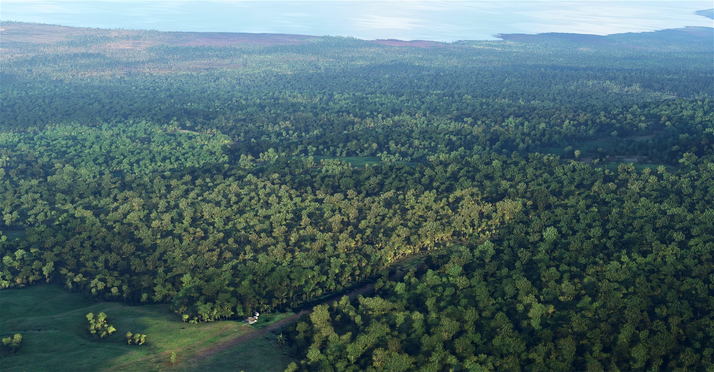
So, for FSEconomy and Hawaii fans in general, I cleaned it up. Added a small building and some chickens (if you've been to Hawaii, the chickens need no explanation) just to spruce things up. That part's fictional, but uploading a whole new airport and doing nothing other than clearing some trees felt silly.
The real HI29 is owned by Ka'u Agribusiness Co., Inc. and used for agricultural flights. But for some reason, wealthy people in FSEconomy sometimes want to fly there. We don't ask questions, but we're just going to guess they're going to have confidential conversations in that building at the end of the runway that for some reason isn't on the maps.
This will work with no libraries (the building and chickerns are from the Oceana world update, which I assume you have if you're flying in Hawaii), but if you have Dave's 3D people library, you will see a couple of Dave's 3D People.
INSTALLATION: Copy the atkinmedia-airport-hi29-pahala folder to your MSFS Community folder. There is no way you chose HI29 as your first add-on airport, so I'm just gonna assume you've found that by now.
FAA Information Effective: 2013-12-12
Airport Identifier: HI29
Airport Status: Operational
Longitude/Latitude: 155-30-33.9820W/19-13-39.1440N
-155.509439/19.227540 (Estimated)
Elevation: 2600 ft / 792.48 m (Estimated)
Remarks
ARPT USED ONLY FOR FERTILIZER & HERBICIDE APPLICATIONS.
OWNER DESIRES ARPT NOT BE CHARTED.
And hey, check out all, well, both, of my other uploads at my Flightsim.to profile.
Cheers,
DennyAtkin


2 months ago
1stfusilier