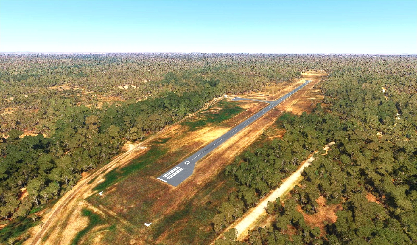
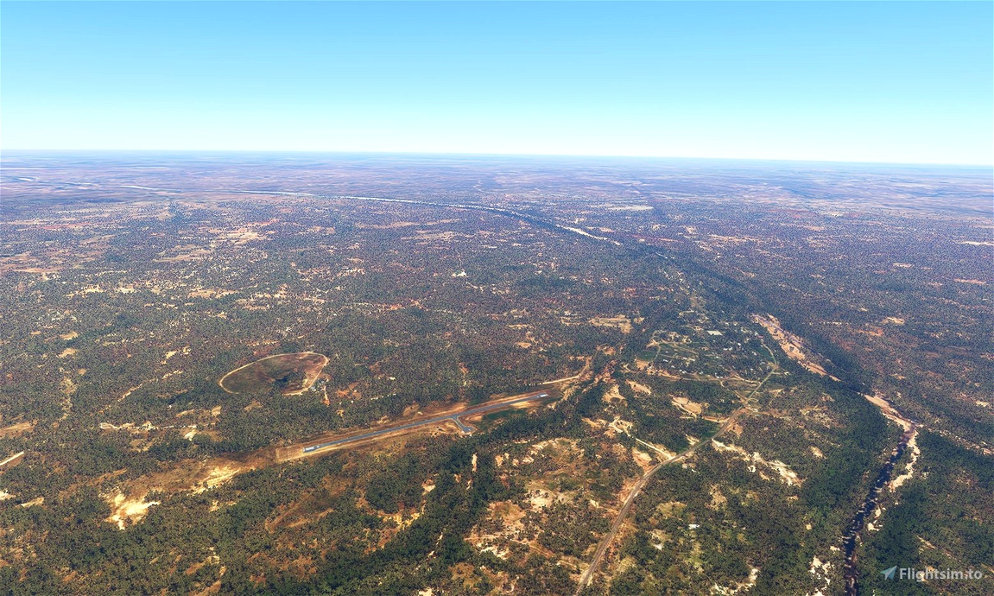
Georgetown Airport is a small public airstrip operated by the Shire of Etheridge in Far North Queensland. It sits 1km SW of Georgetown on the Gulf Development Road and the Etheridge River, and is located 280km SW of Cairns, 270 SE of Normanton, and 80km west of Mount Surprise. The airport has no scheduled commercial flights, but services private planes, charters, and medical flights to the area; it is also one of the only airports in the area with a paved helipad.
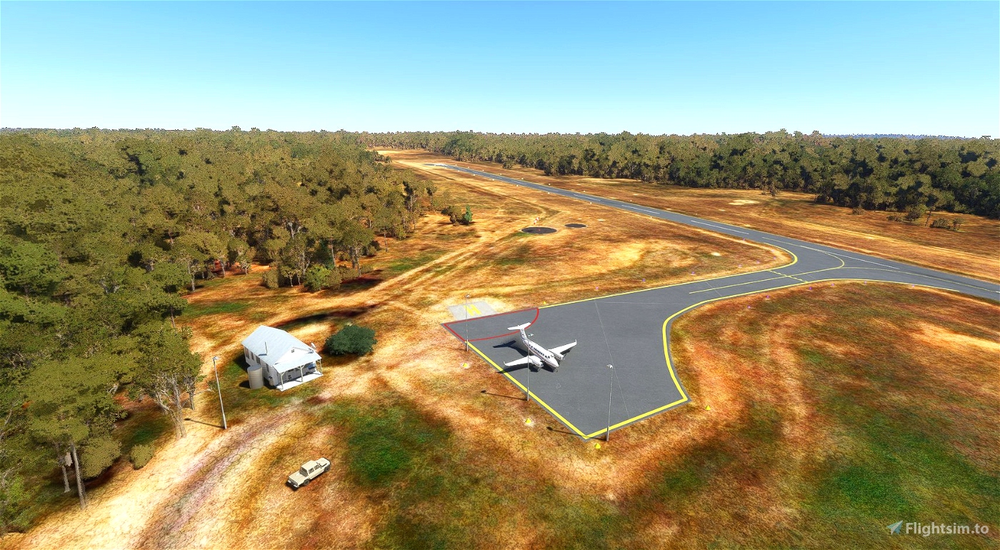
The main goal was to add the apron that was visible in the satellite imagery but not modeled for the airport, as well as test some issues I've had since the last update. This scenery uses all stock assets, you don't need to download anything else for it to work. Please let me know if anything appears to be missing or isn't working properly since the update.
Version 1.0:
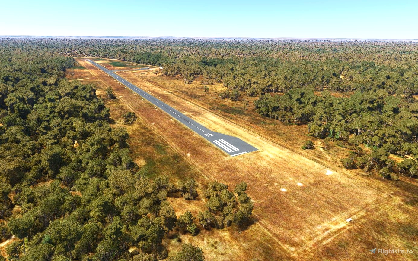
- Corrected runway material and added and custom runway markings
- Fixed windsock location
- Added gables and cones around runway
- Added apron
- Added parking location and helipad on apron
- Removed blurry autogen roads near the airport
- Removed airport service vehicles
- Improved the tree situation, but it's still bad in this area. There should now be fewer and smaller trees at the end of runway 24.
- Misc. scenery and vegetation fixes/additions
If I've overlooked anything or you have any suggestions, please leave a comment.
Thanks, and enjoy!

 kliff0rd

