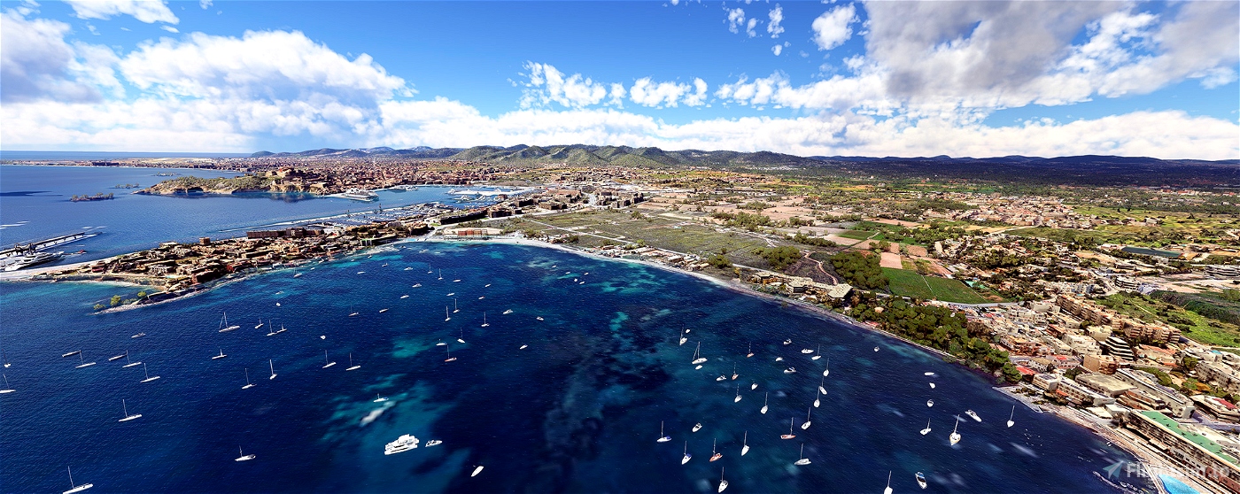

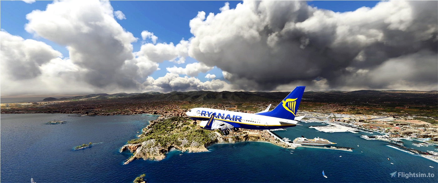
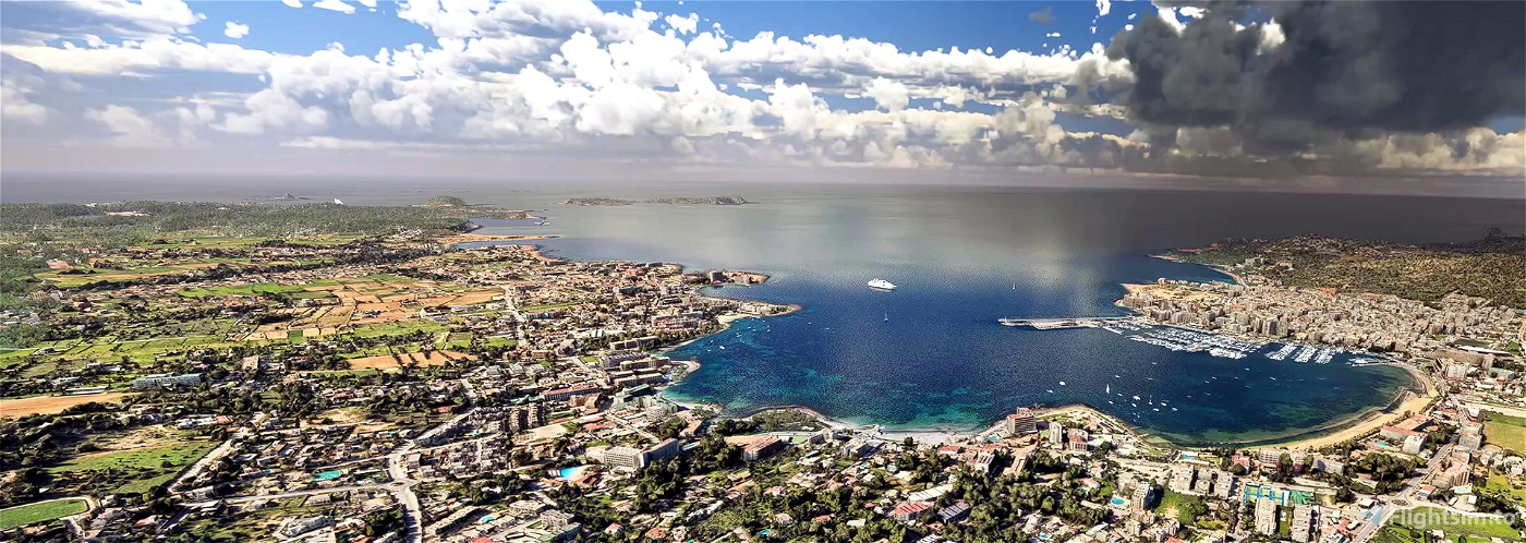
It is located 79 km east of the Iberian Peninsula, opposite Denia, 80 km southwest of the island of Mallorca, and 3 km north of Formentera, with coordinates 38.98, 1.43. Its capital is Ibiza and the two most important towns, in addition to the capital, are San Antonio Abad and Santa Eulalia del Río, and the largest municipality, San José.
The islands of Ibiza and Formentera, together with more than fifty islets —the largest of which is Es Vedrá, with a height of 382 m—, are called the Pitiusas Islands. They form a different archipelago from the one made up of Mallorca and Menorca, although nowadays they are referred to as the Balearic archipelago and they form part of the same administrative unit. It occupies an area of 572 km² and only one river flows through it, that of Santa Eulalia del Río, the only river in the Balearic Islands, which for many years has remained dry for much of its length due to the excessive exploitation of the island's aquifer resources. . The maximum altitude of the island is Atalayasa with 475 meters of height.
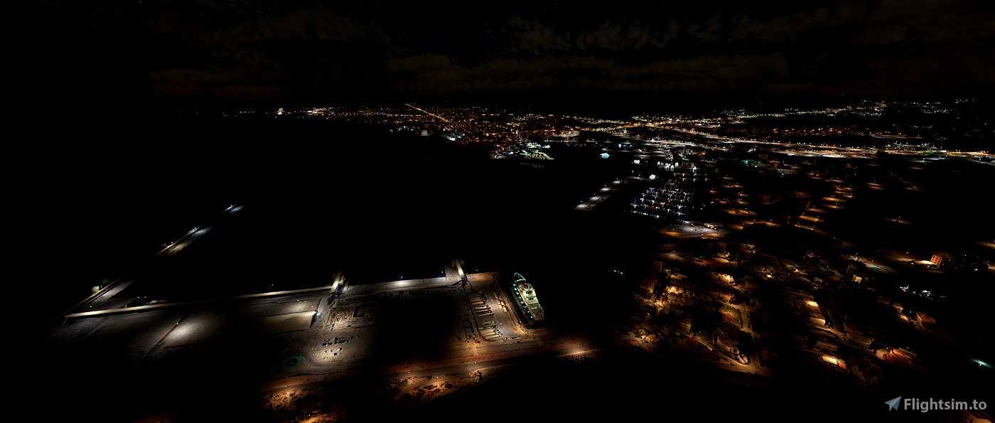
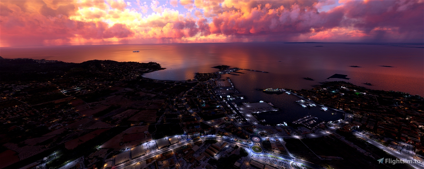
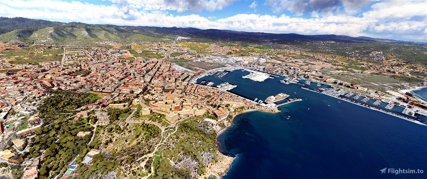
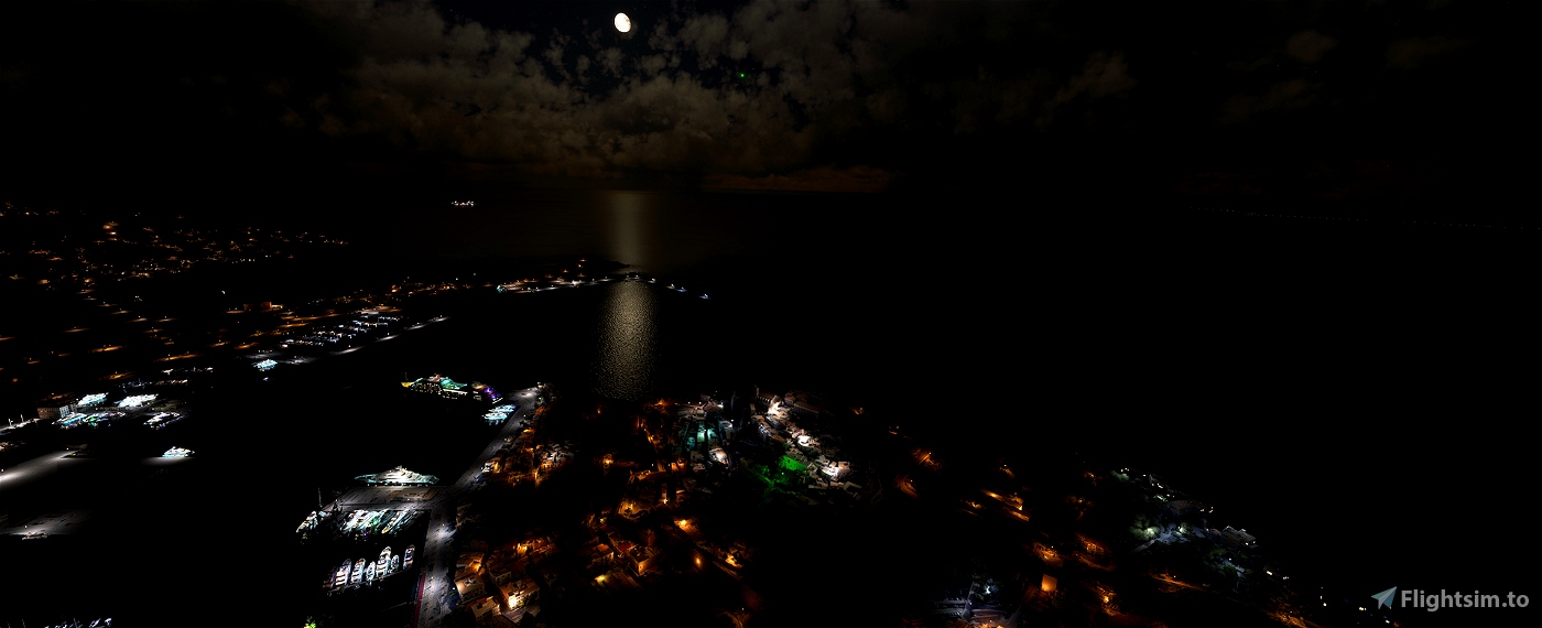
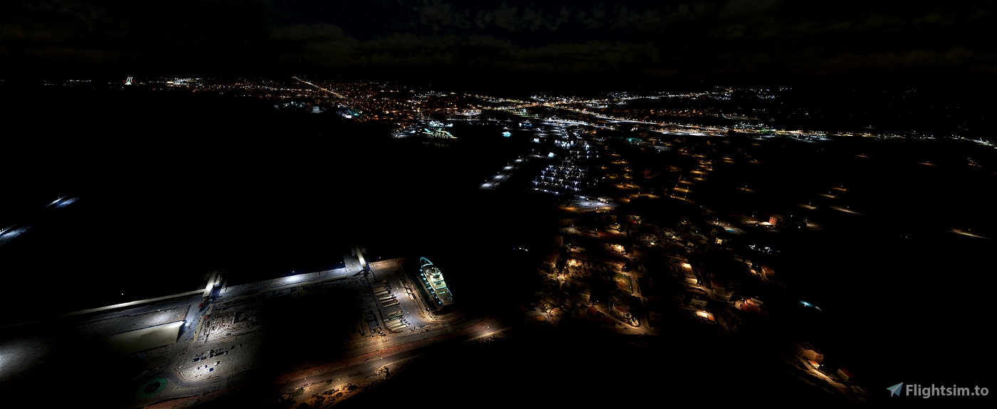
This scenario covers the towns of Ibiza and surroundings, Santa Eulalia des Riu and Sant Antoni de Portmany. The last two added in an update this afternoon.
Greetings and sorry for the inconvenience

 Tupeman


7 months ago
kimjongskylark
How do I get that blue crystal clear water?
1 years ago
nimros70
Will there be an update so the buildings on the beach when approaching 24 are the real ones too.
Is there something planned, maybe a little better resolution?
1 years ago
1 years ago
Tupeman
village1111
Funciona perfectamente!!!
Como sugerencia podrias incluir Es Vedra?
2 years ago
Te refieres al mirador de es Vedra?
2 years ago
Tupeman
Mattibz
Me encanta,seria maravilloso que pudieras hacer Mallorca
2 years ago
pmgl71
Love this scenery now Santa Eulalia and San Antonio have been included. Well worth 5 stars and now better than Esro's version. Would be fantastic if a few more towns were added.
2 years ago
Thanks for your comments, OK I'll review it to see if I can add any more
2 years ago
Tupeman
cianpars
I understand that the download contains photgrammetric scenery for the biggest towns on Ibiza. No 3D work, terraforming of coast, adding vessels? Just asking, no intention of putting down the work you've done!
2 years ago
2 years ago
Tupeman
deHavilland
A quoi reconnait on un excellent travail de photogrammétrie ??
Pas seulement à l'aspect visuel mais surtout à sa qualité de fluidité et d'affichage.
C'est le cas des scènes ORBX pour ne citer que quelques rares exemples et votre travail à vous.
Vous avez fait un superbe travail... Mille merci.
2 years ago
bouboune
Please could we have a description of what this scenery is meant to represent. I see photogrammetry around the airport along to Ibiza Town, but the rest of the island just appears to be google earth textures with stock buildings. In some places I did note photogrammetry buildings sitting on top of stock buildings.
The island does look nice, but I'm not sure if I am seeing what I am supposed to be seeing. Santa Eulalia and San Antonio just seem to contain stock buildings sitting on google textures.
2 years ago
2 years ago
Tupeman
cianpars
Hi, what is the difference compared to ezro's ibiza?
2 years ago
Well, I don't know, because I hadn't seen Ezro's I tried an older SUSUS one and I had problems with the light at sunsets or sunrises and since I had this one, I thought I'd upload it and I've also added
Sant Antoni de Portmany and Santa Eulalia des Riu.
CHEERS
2 years ago
Tupeman
lego
Hello. What does this scenery cover? Just the city, or other locations?
2 years ago
This scenario covers the towns of Ibiza and surroundings, Santa Eulalia des Riu and Sant Antoni de Portmany. The last two added in an update this afternoon.
2 years ago
Tupeman
rdpm
2 years ago
2 years ago
Tupeman
manfellow