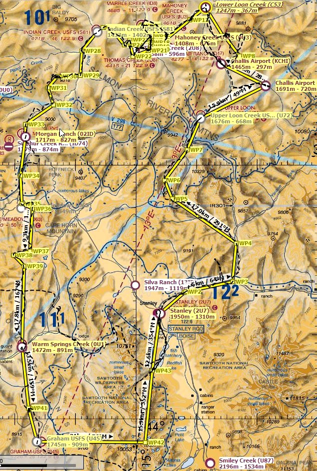
This bush trip is meant to be played without GPS. I would recommend using LittleNavMap with google maps satellite layer and terrain layer. - https://www.avsim.com/forums/topic/548994-new-maps-for-lnm/
Just set “show aircraft position” and “show aircraft trail” to off.
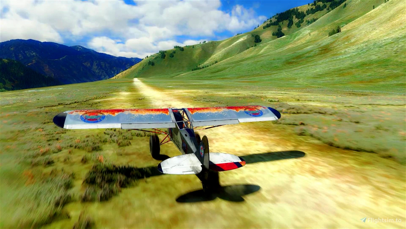
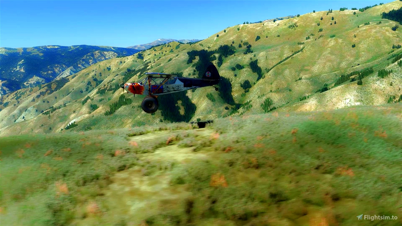
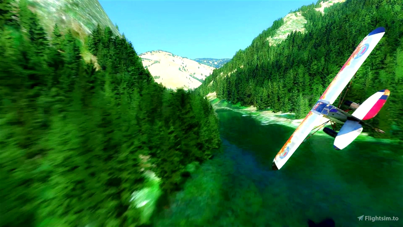
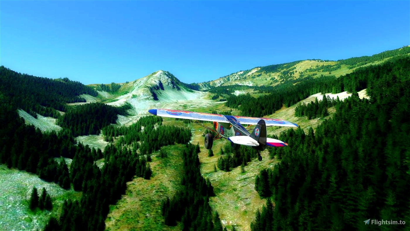
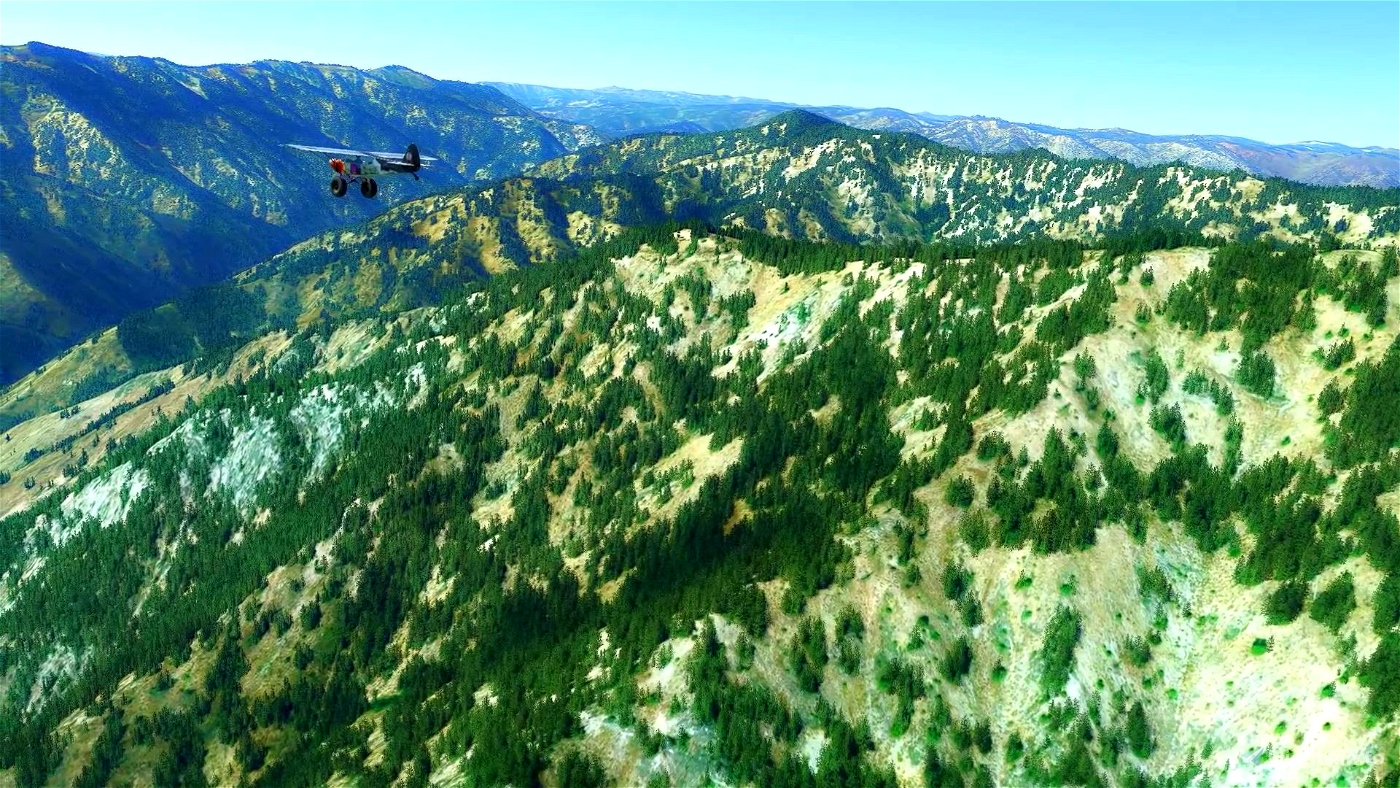
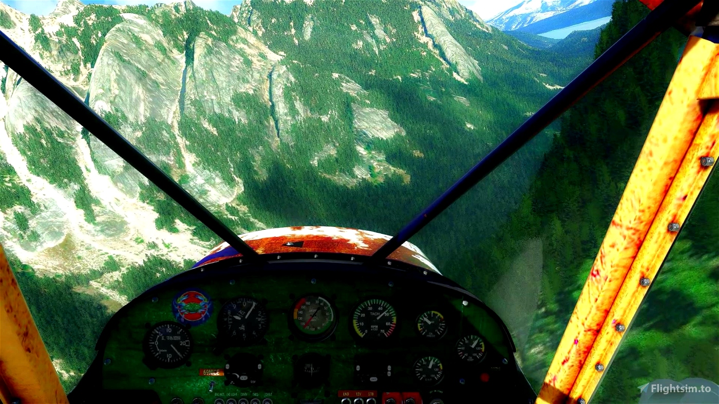
You’ll need a capable STOL machine for this one. I was flying Savage Grravel - https://flightsim.to/file/5061/savage-grravel-monster-truck-in-the-skies
I have 2 airport packs for this area so you might want to use them in case some of the airports are not in the base game - https://flightsim.to/file/4218/western-us-backcountry-strips-vol-1
and https://flightsim.to/file/1156/bush-strips-in-idaho
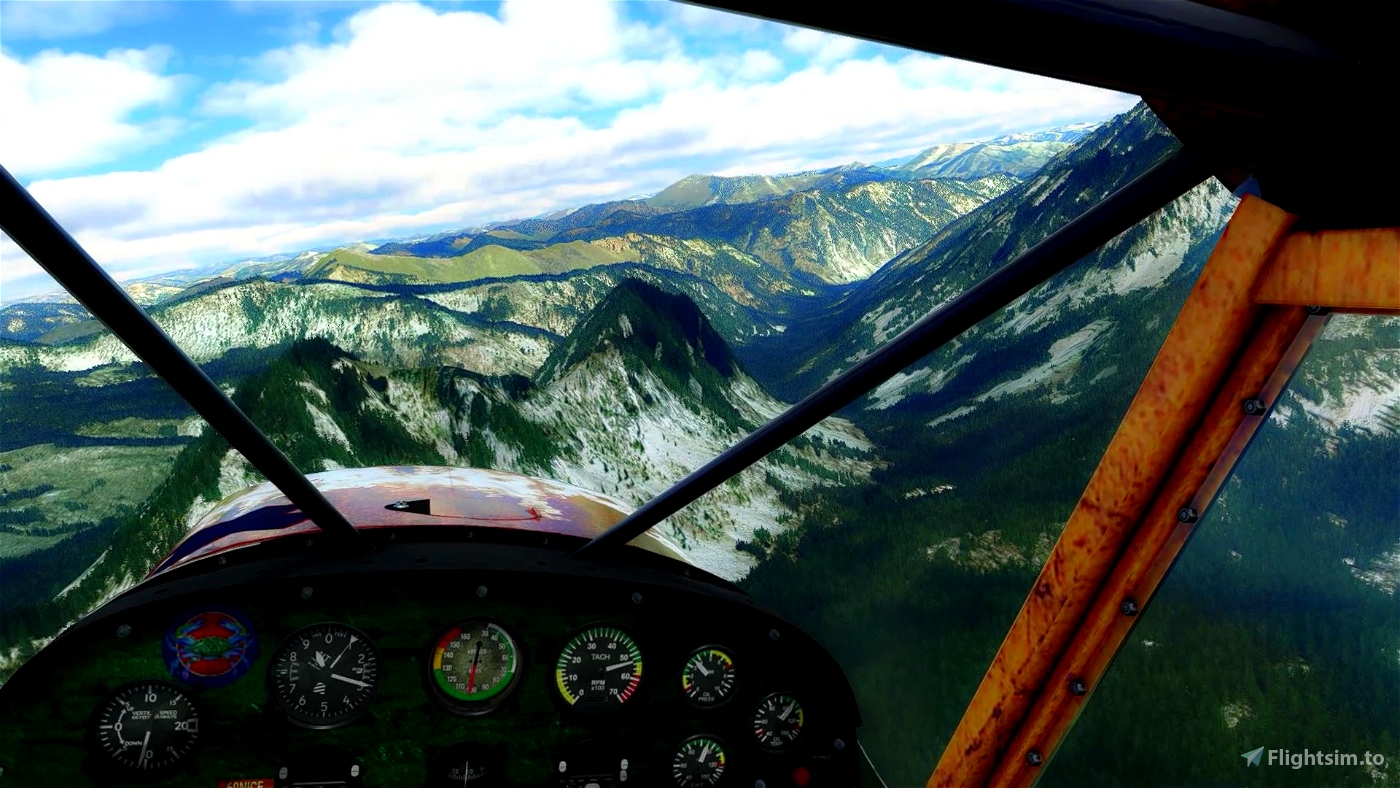
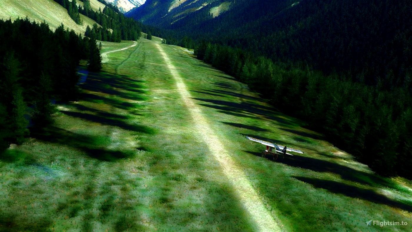
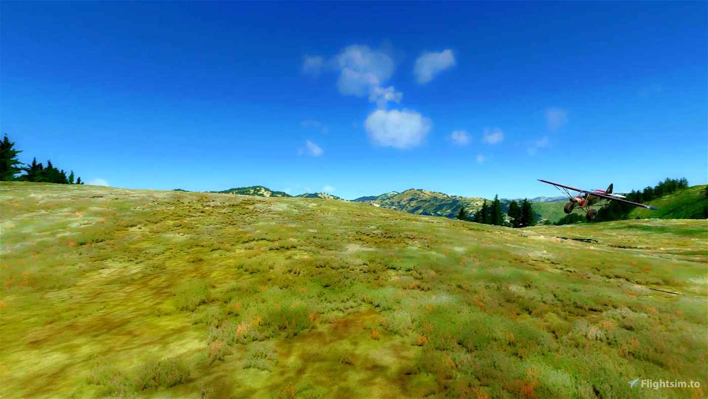
You should really plan ahead and always have a good look of the next landing area since some of them are very small and hard to find.
Or you can just use GPS and just enjoy the scenery. It’s a game anyway ;)
I was flying live weather but any preset that is not too windy should do.
Whenever there are two waypoints close to each other there’s a place to land roughly on the line between those two points. - except wp16-2p20 where you should try to ride the ridge down.
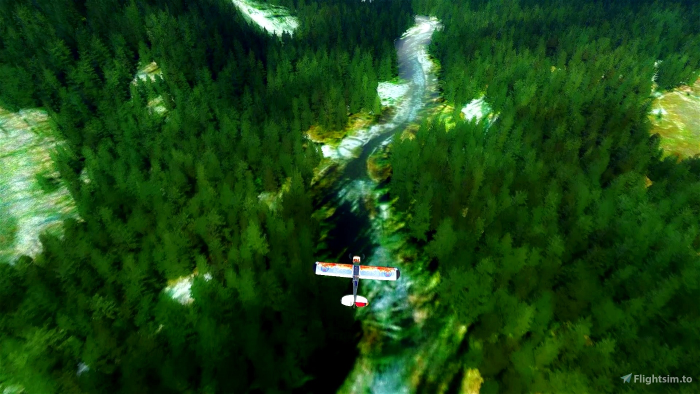
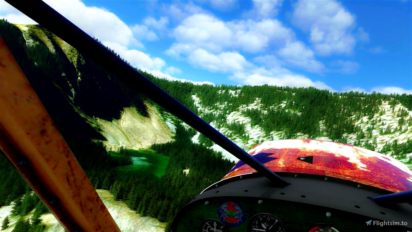
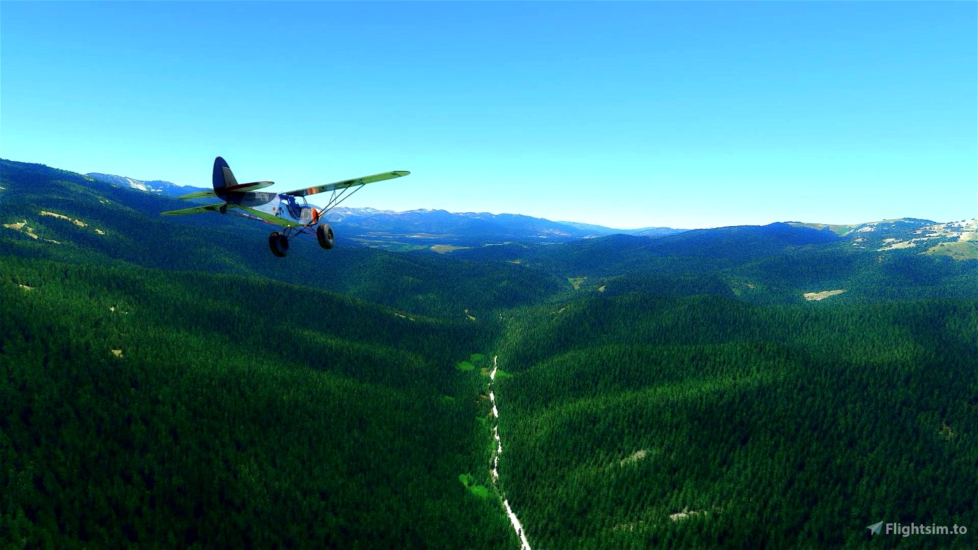
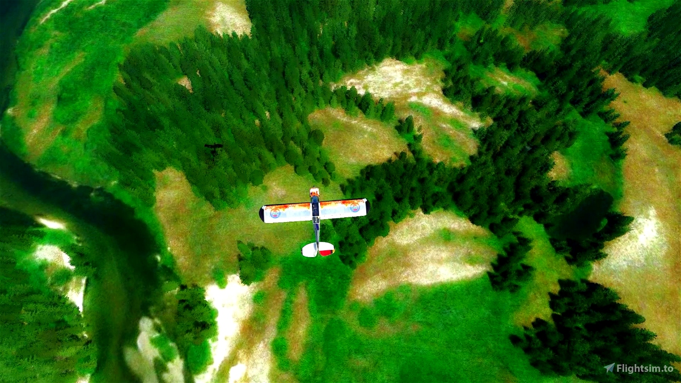
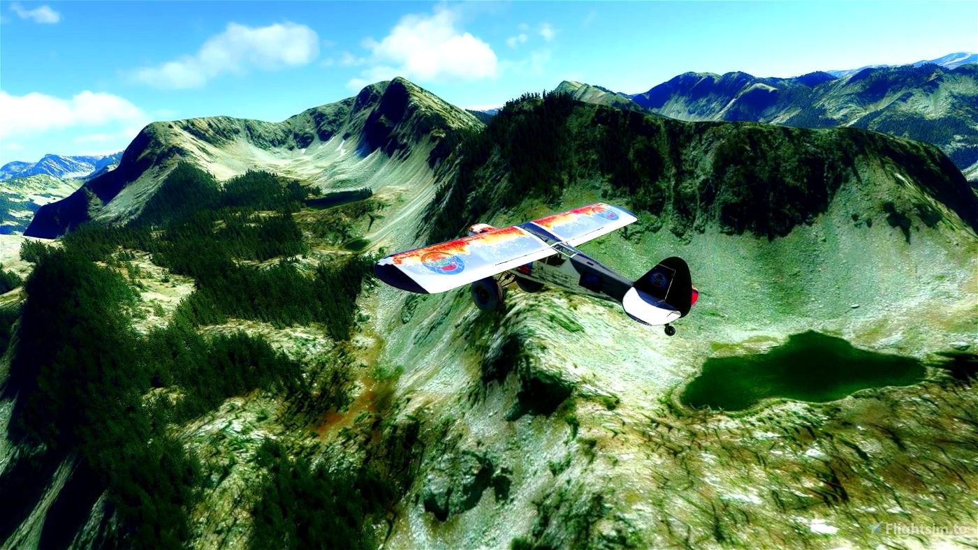
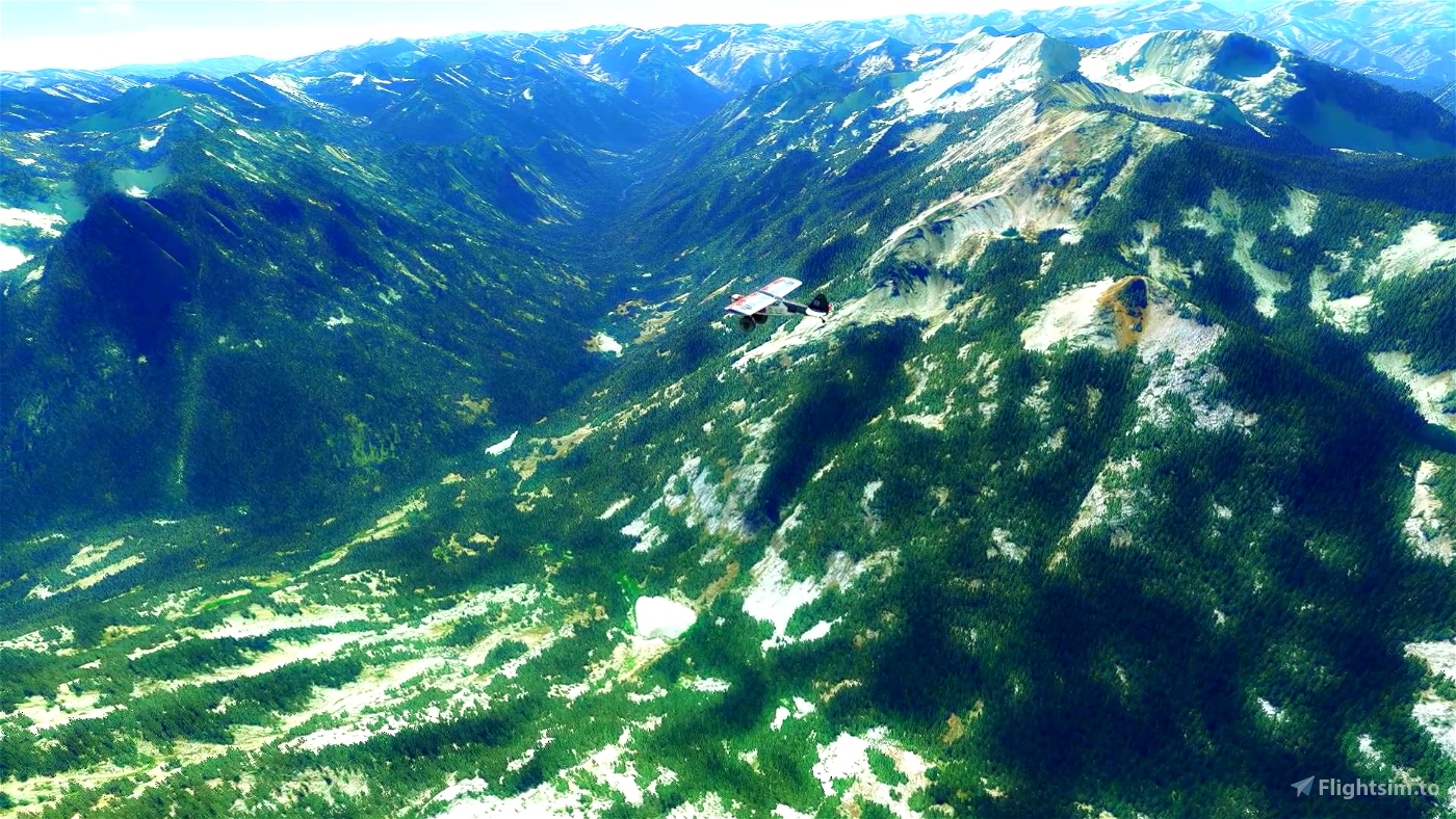
It's not too hard to navigate. Mainly just follow rivers and count the incoming streams & walleys
At the end (after taking off Graham USES (U45)) just continue east over the mountain lakes until you see the big valley and then turn north
to observe some more lakes before you descent to wash tires in a Redfish lakes
This is a second part of Idaho adventures. First one has more extreme STOL landings. Check it out https://flightsim.to/file/17722/idaho-bush-trip-navigation-extreme-stol-challenge

 drStation

