


This flight plan follows the route of the (by foot) 96-mile/154-km Rob Roy Way, from Drymen, near the eastern shores of Loch Lomond, to Killiecrankie, in Perth and Kinross. This flight plan is 99 nautical miles, so I advise using something low and slow to take in the scenery. Departure is from Glasgow (EGPF), eleven miles south of the start of the trail, and the destination is Blair Atholl Airfield (EGQI), two miles beyond Killiecrankie, which sits above the River Garry.
The safe flight level is 3,500 feet.
To load the route, click "load/save" at the bottom of the World Map and navigate to the relevant folder.
Turning north out of Glasgow, over the River Clyde, Loch Lomond will be in view shortly after climbing over the Kilpatrick Hills. From Drymen, we continue north for five miles, into Queen Elizabeth Forest Park, before turning northeast towards Aberfoyle.
We maintain that heading as we fly beside Loch Venachar, towards Callander.
Turning northwest over the River Teith, Loch Lubnaig, in the shadow of Ben Vorlich to the right, is our next point of interest.
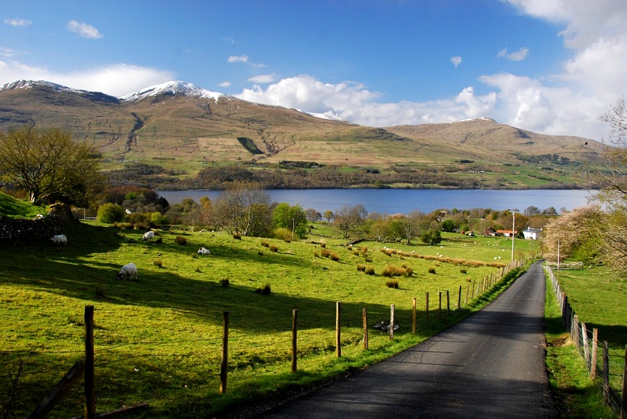
After passing between Loch Voil (left) and Loch Earn (right), we fly along the eastern shores of Loch Tay next, en route to Kenmore. The trail has an offshoot loop here, and it's one I recommend taking, as it brings us up a valley, whose stream feeds into Loch Freuchie, and then we climb the hill above Garrow and make our way back towards Loch Tay.
Passing Kenmore again, the final stretch takes us over Aberfeldy, Pitlochry and Tay Forest Park, before we land at our destination (elevation 475 feet).

 newtestleper


Nice flight, I enjoyed it very much. Before landing check out Briar Castle since you're there.
3 years ago
Djeez2